

Light filtered softly through the nearly leaf-less canopy, casting a warm, golden glow throughout the forest. The dry leaves that had cracked beneath our feet during the night now glistened with a rich ochre color against the reddish earth. Birds sang melodies replacing the nocturnal insect chorus that had accompanied us on our return to camp.
Unlike the dense rainforest of eastern Madagascar which conceals all but the most vibrant colours from view, Kirindy frequently shows off its wildlife for anyone who takes the time to stop and watch. During the previous evening’s darkness, some of the animals we saw today were hidden from sight. They now rest quietly in hollow trees, or move freely through the open woodland. However, our experience of perhaps the most memorable animal of the day started with something as simple as water.
The most precious resource
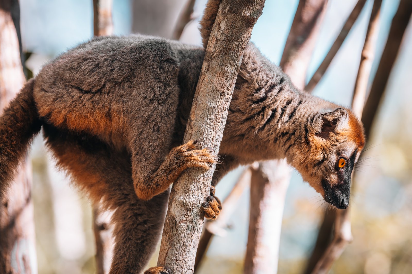
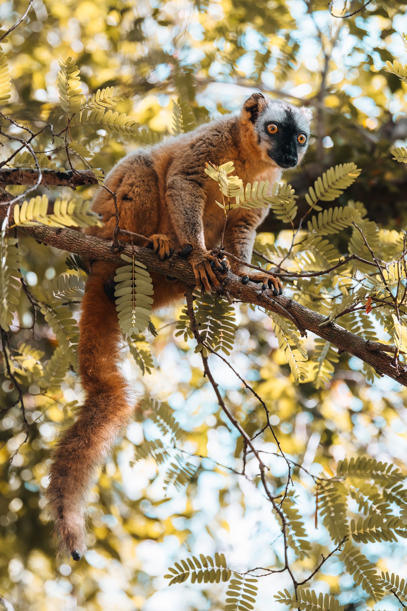
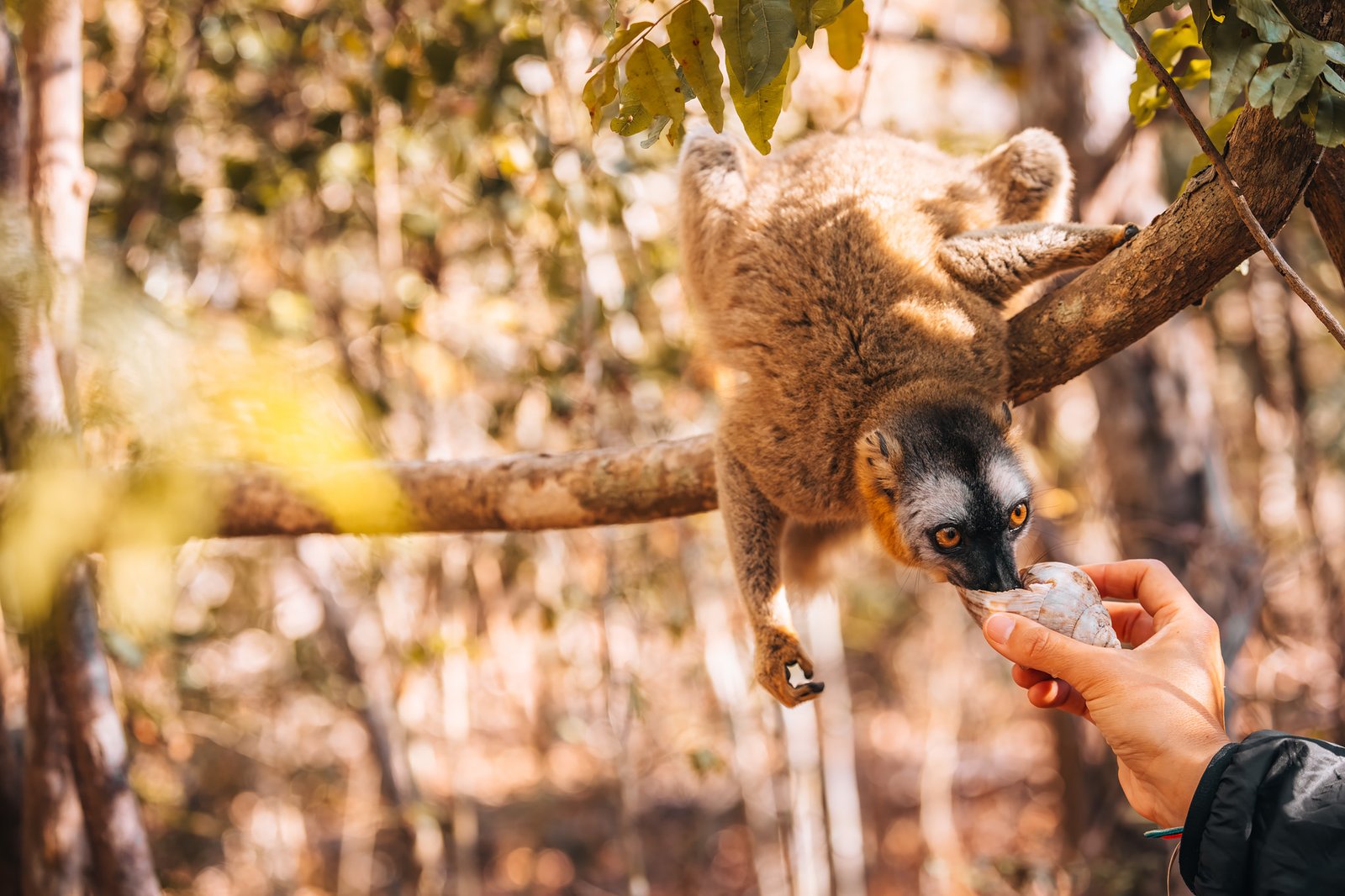
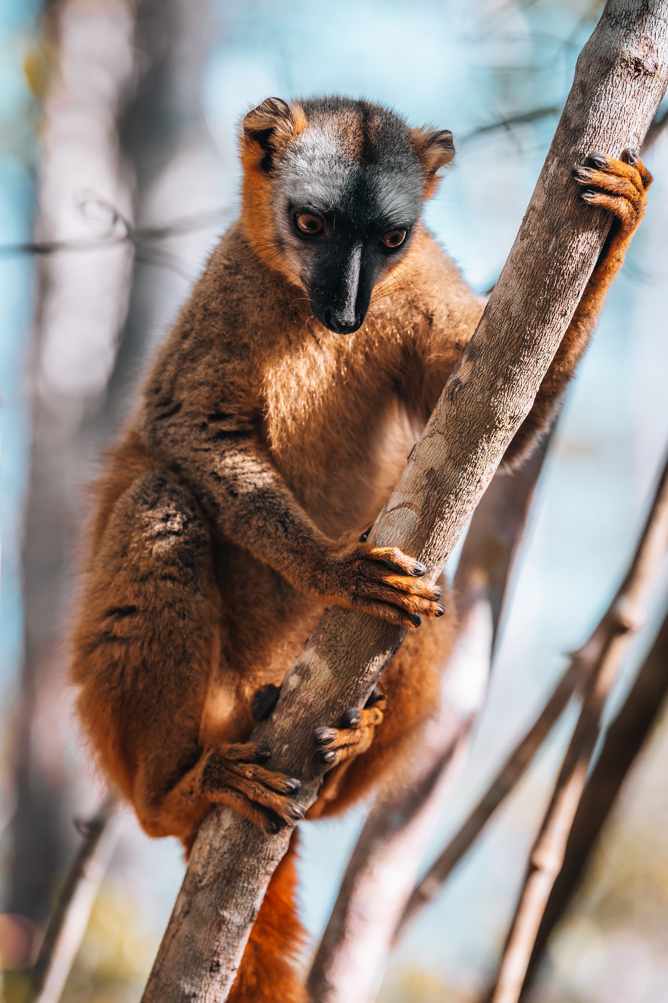
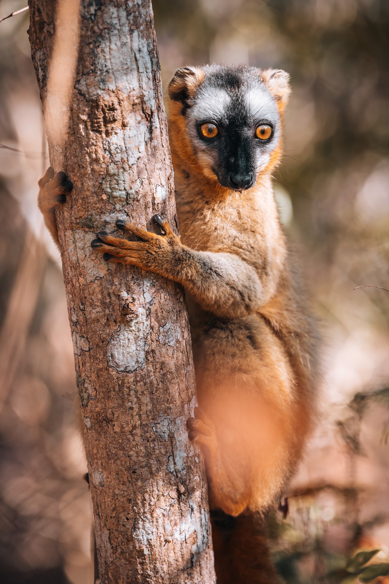
A small group of red-fronted brown lemurs had settled just outside the trees bordering our lodge, and were carefully watching each of our actions. Initially, we thought they were simply curious about us, but every time someone went to reach for a water bottle, the lemurs’ eyes followed the action.
Only later did we realize why they were so focused on them.
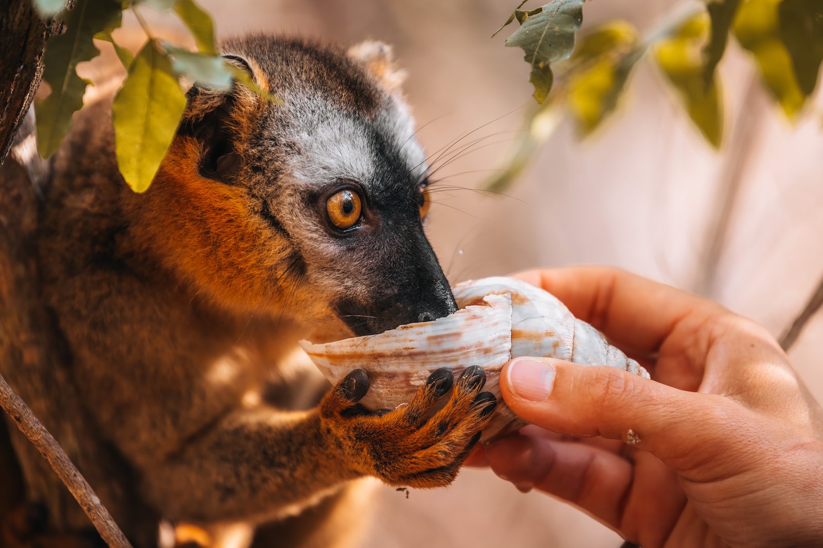
In August (near the end of the dry season) in western Madagascar, water is a rare commodity due to lack of rainfall for extended periods, many streams are dry, and access to clean water is limited in many ways. The lemurs have come to associate visitors who carry bottles with providing them with a vital resource that is scarce during this period. Noemí quietly held an empty snail shell filled with water and waited. There was no response.
For a few seconds the group of lemurs stood there watching. Then one cautious member descended, stopped and looked toward us before bending its head down to drink. A second lemur followed shortly thereafter. And a third. Within a minute or two, the shell had become the focal point of attention.
There was nothing sensational about the event, no loud cries, no rapid movement, only a number of parched creatures drinking a limited supply of water during one of the driest seasons of the year.
And even though the event lasted only two minutes, it was one of those quiet events that you will remember long after you forget the pictures you took. For a moment or two, it seemed that there was relatively little difference between us and the wildlife we were viewing.
A New Side of Kirindy
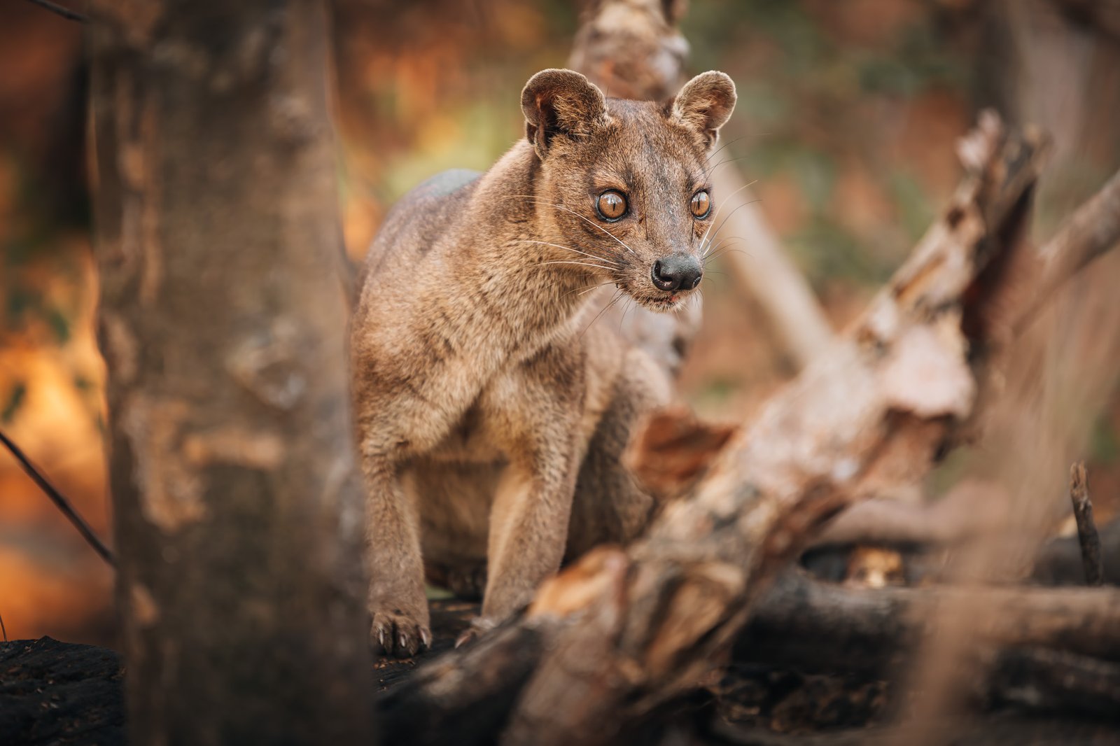
The forest rewarded us quickly again. A female fossa emerged only a short distance from where we were camping, representing a totally different type of interaction with this elusive creature than we experienced on the prior night. Rather than stalking silently in the dark, she walked casually beneath the morning sun, stopping periodically to survey her surroundings before moving along between trees.
In addition to being able to see her better because of her exposure to sunlight, we also gained greater appreciation for her physical stature. Long bodied and muscular with an extremely long tail, she was as agile moving through the trees as she was walking through the forest floor. Seeing two fossas within less than twelve hours was incredibly lucky. Many people visit Kirindy hoping to see one and fail. Our good fortune continued through out the remainder of the morning.
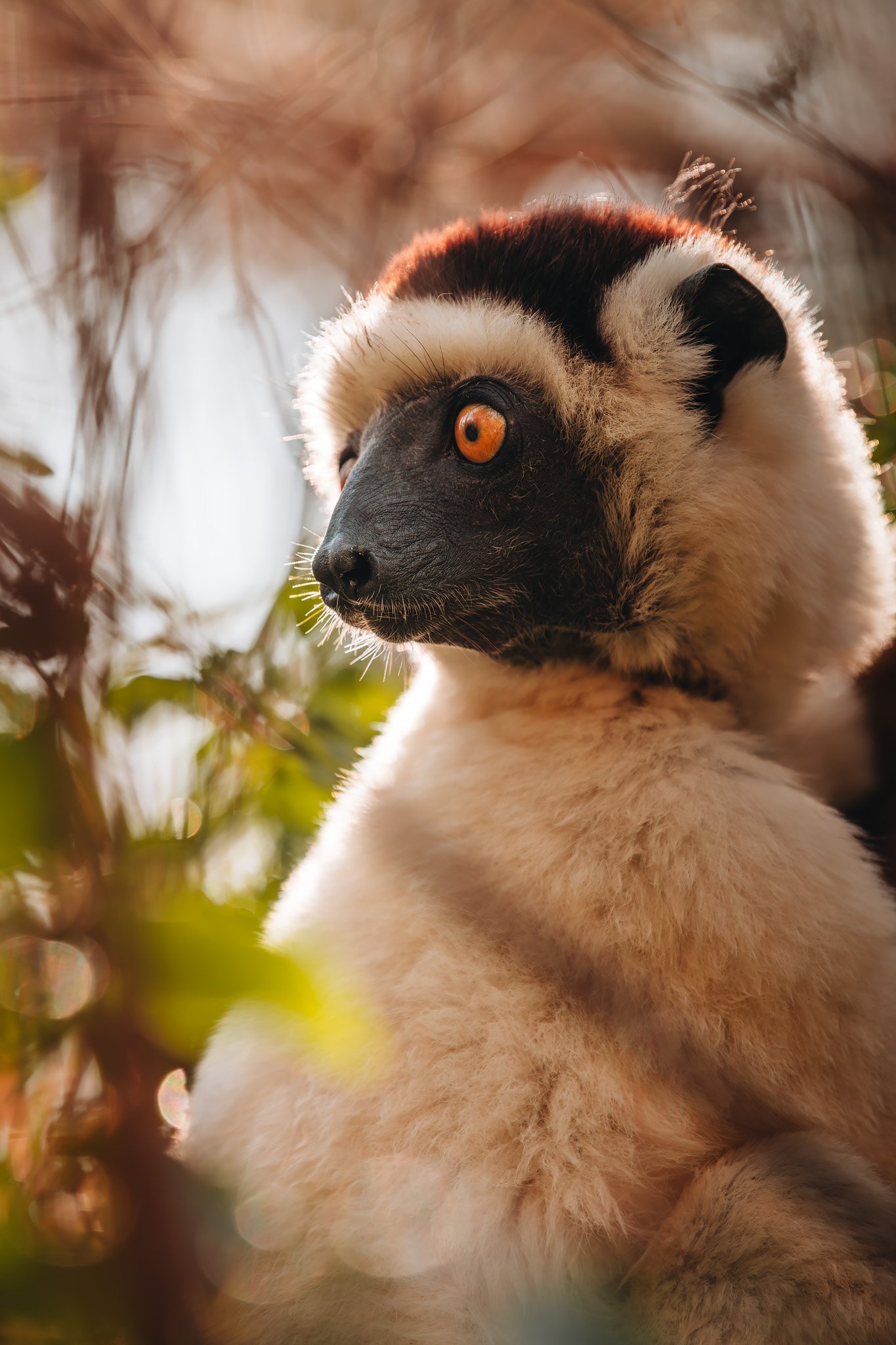
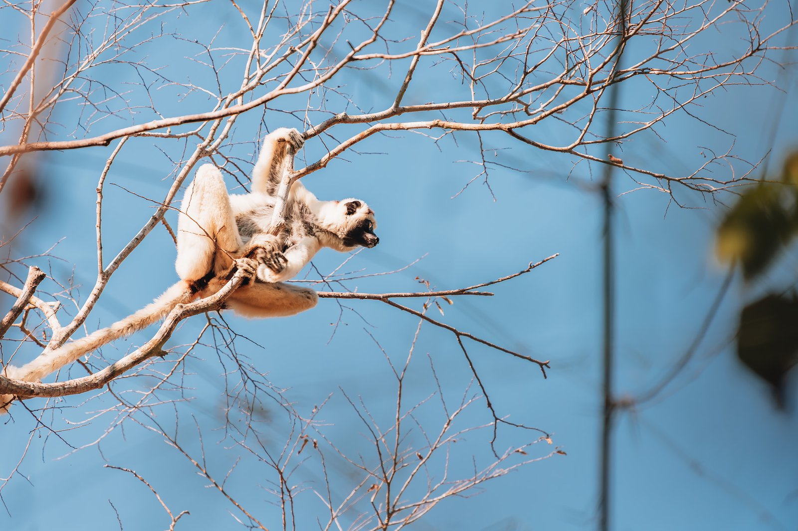
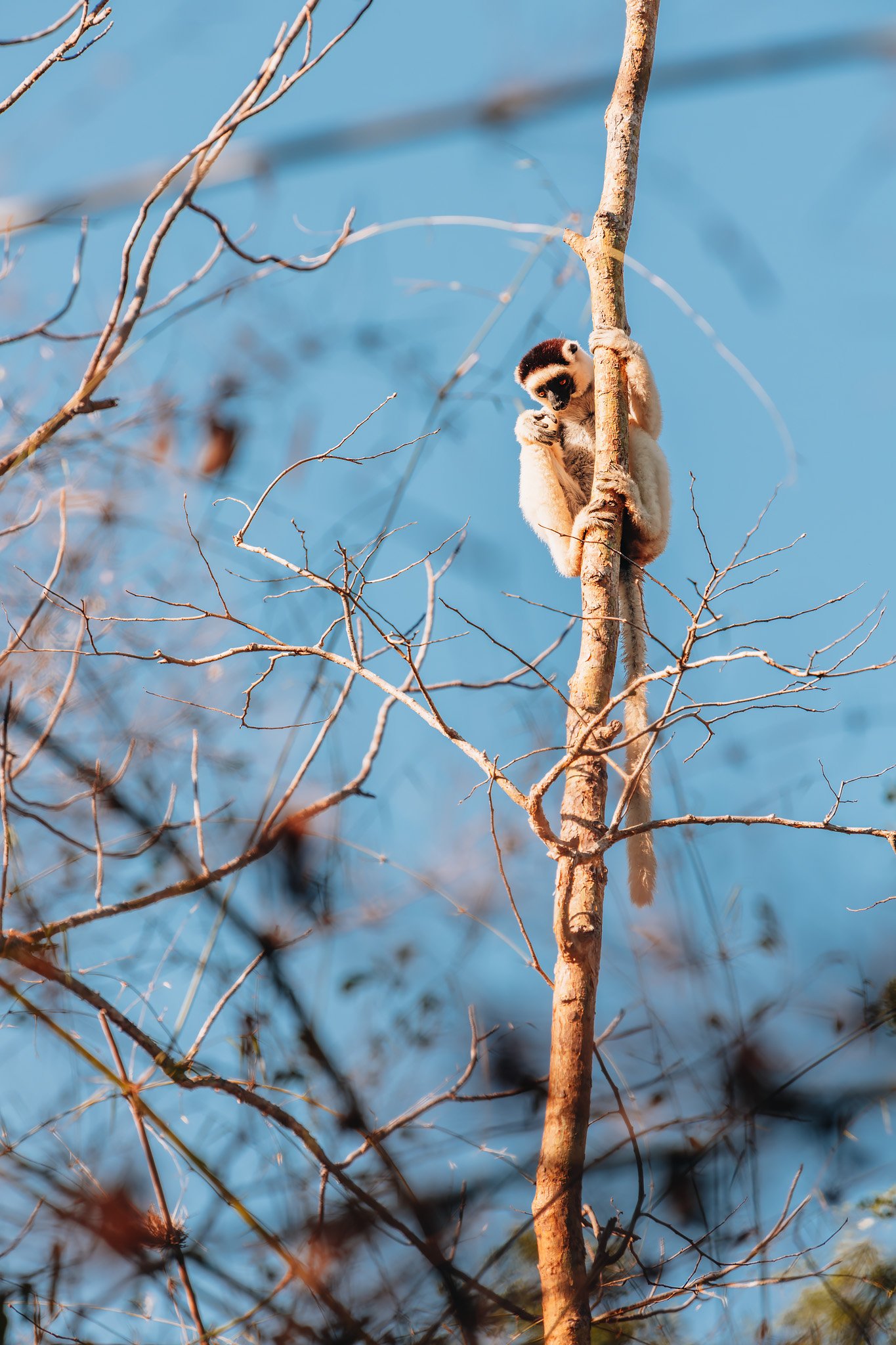
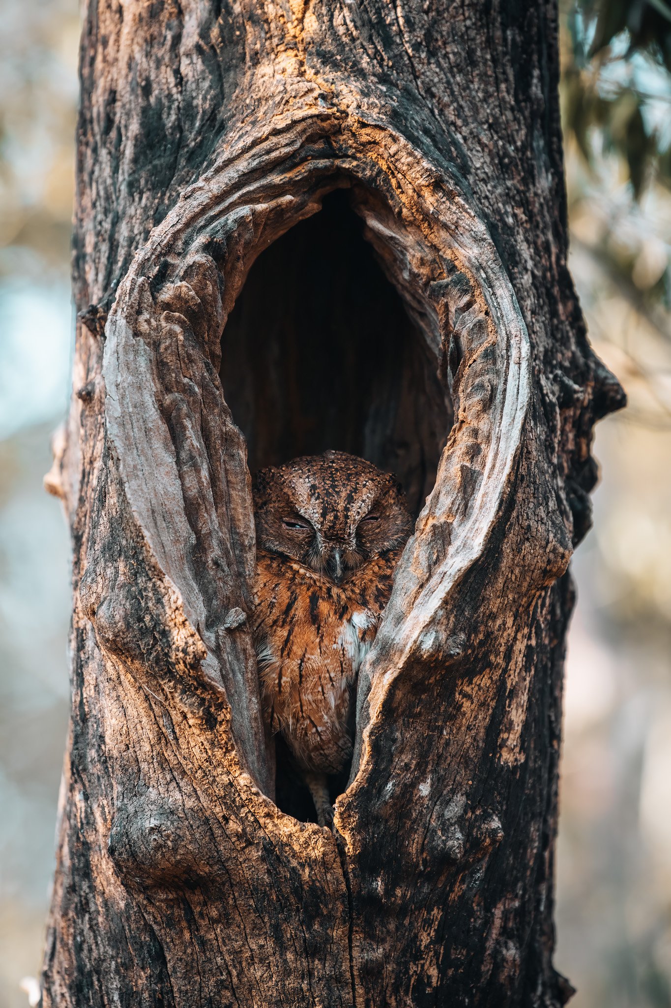
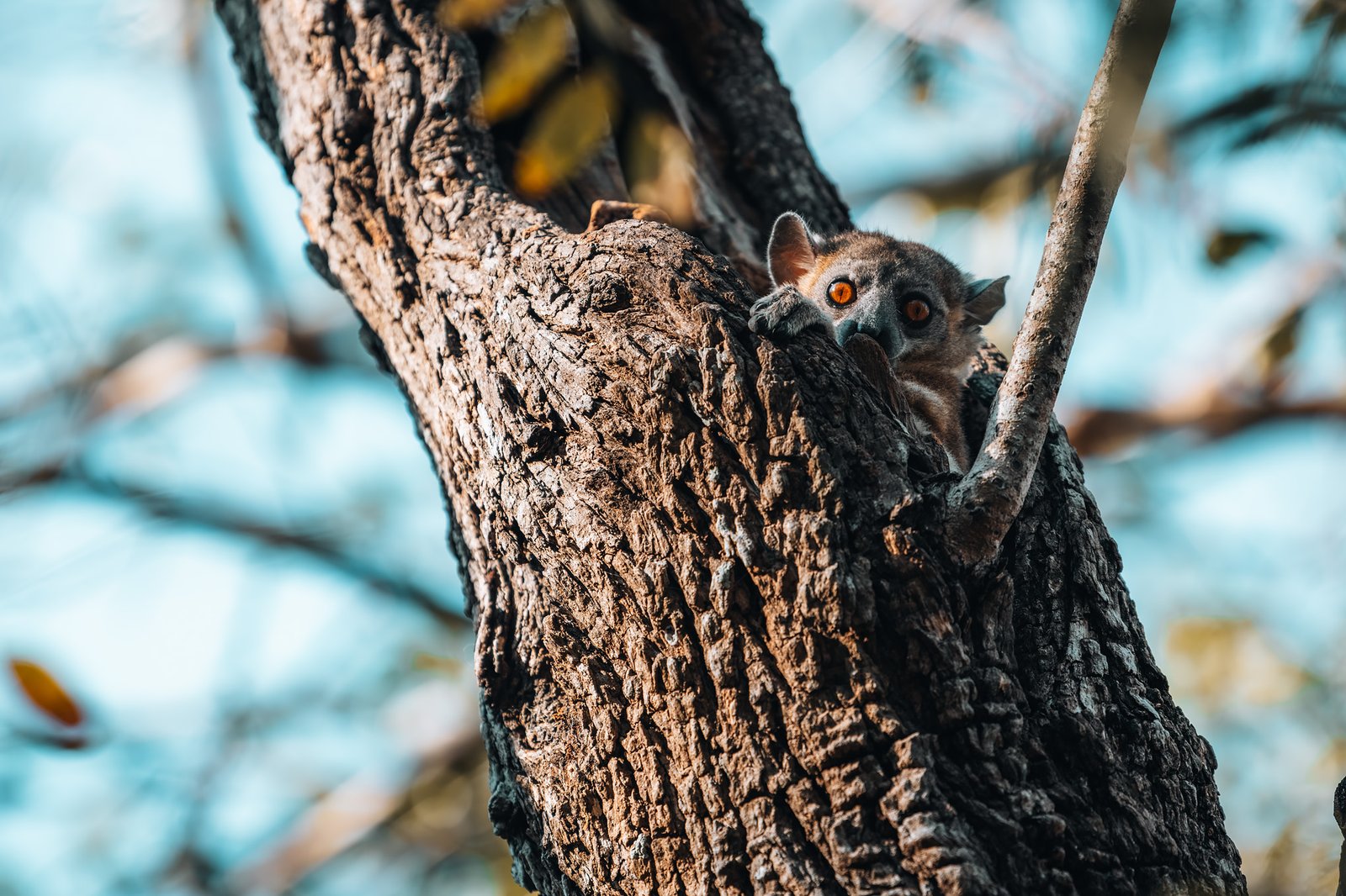
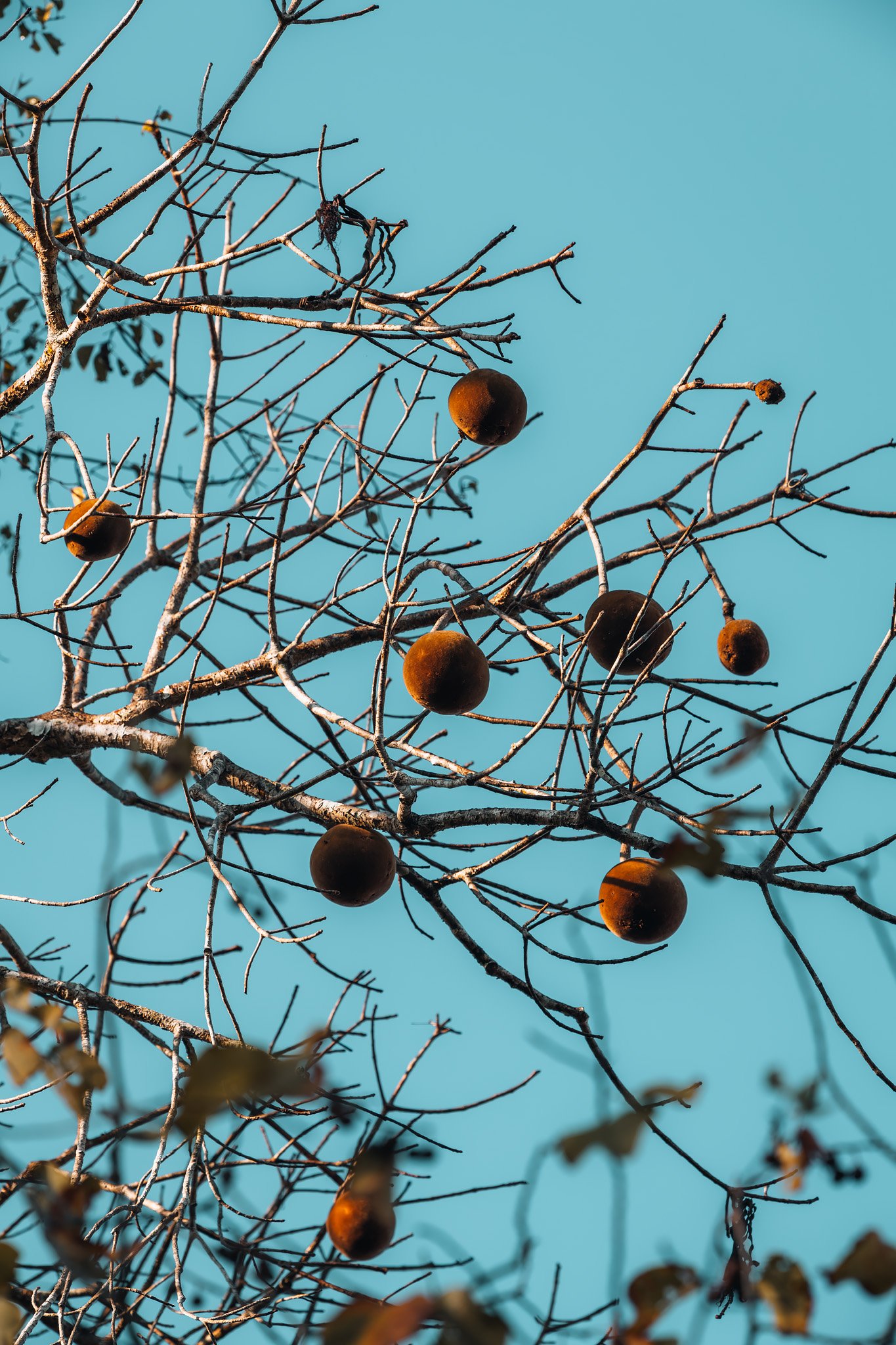
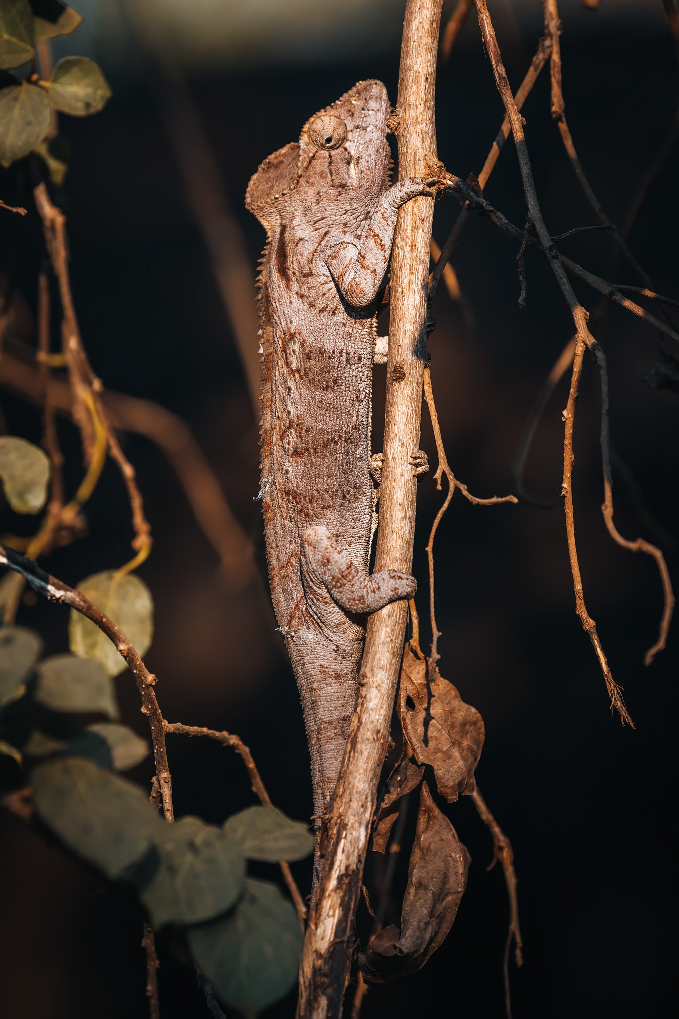
Verreaux’s sifakas ran easily from tree trunk to tree trunk using their distinctive sideways jumps which make them one of Madagascar’s most recognizable primate species. Sportive lemurs remained curled up inside hollow trees seemingly unaware of their surroundings illuminated by daylight. A sleeping Madagascar scops owl sat staring from inside another hollow tree. Even the vegetation offered visual interest. Large baobab fruits remained hanging from tall branches overhead while giant chameleons blended almost perfectly with their pale bark despite their considerable size.
By mid-morning it was time to begin our drive northward. Ahead lay one of Madagascar’s most remote (and famous) national parks.
The Road to Bekopaka
Distances in western Madagascar can be quite misleading. While Bekopaka lies only slightly over 200 km north of Kirindy, driving to get there consumes an entire day.
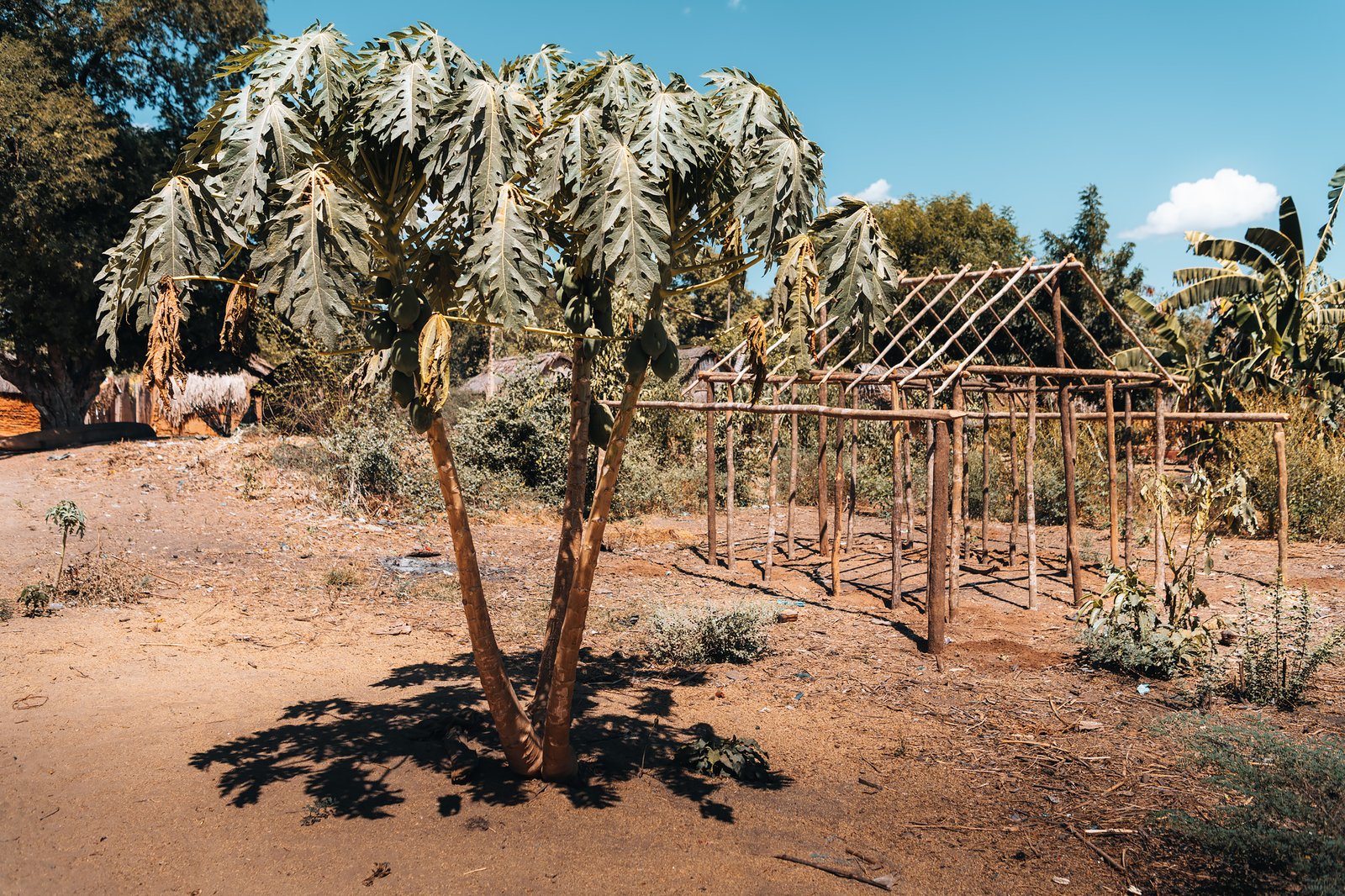
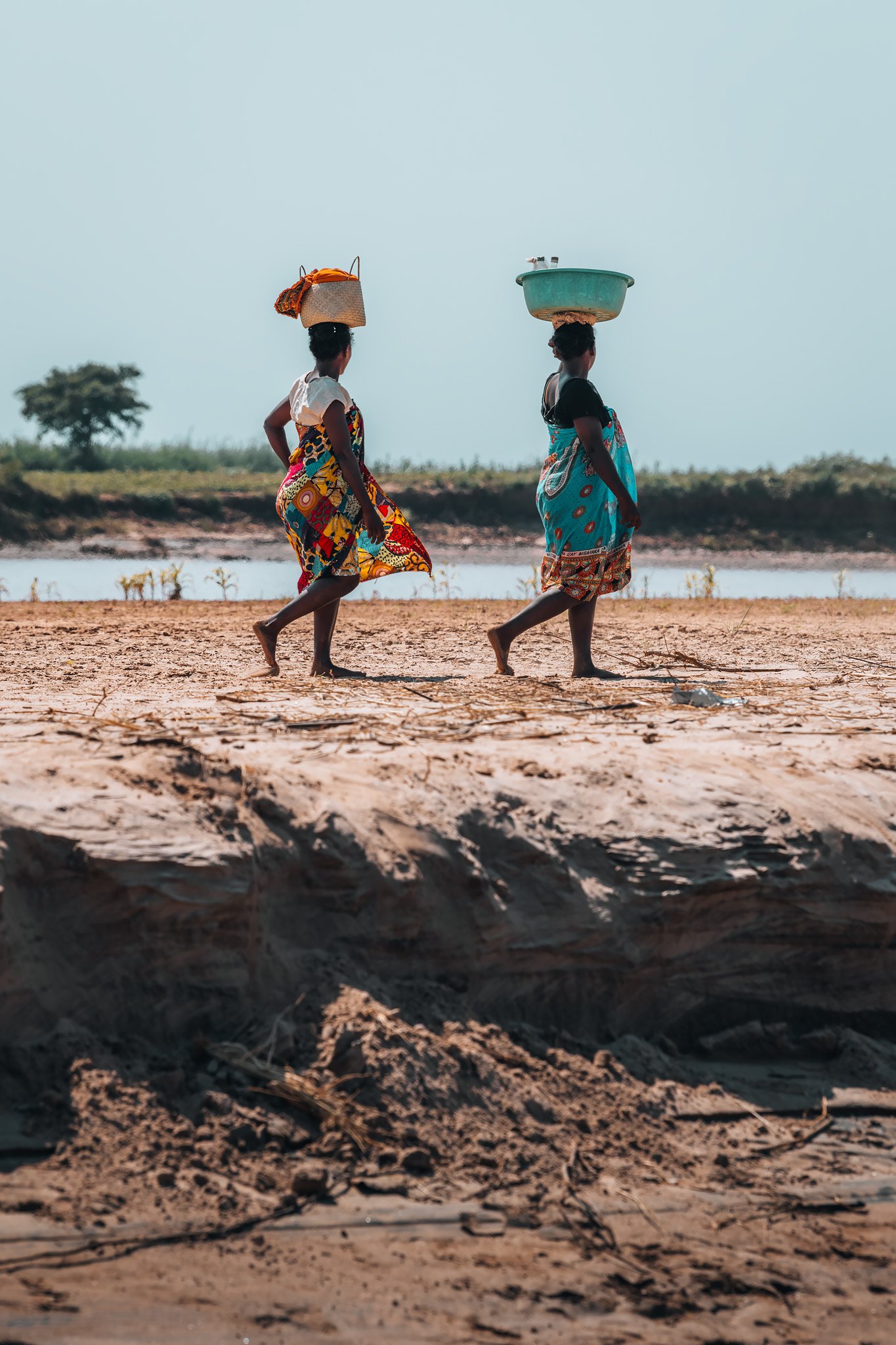
As we drove northward, the road rapidly deteriorated into countless kilometres of endless corrugated dirt trails which threw up enormous clouds of fine red dust with every passing vehicle that hung suspended in the still air for minutes afterward. We encountered numerous small Sakalava villages located sporadically along the way, consisting of homes constructed from wood and mud beneath scattered baobabs, and children waving enthusiastically as we passed by.
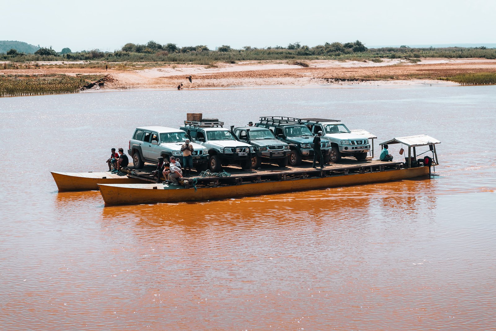
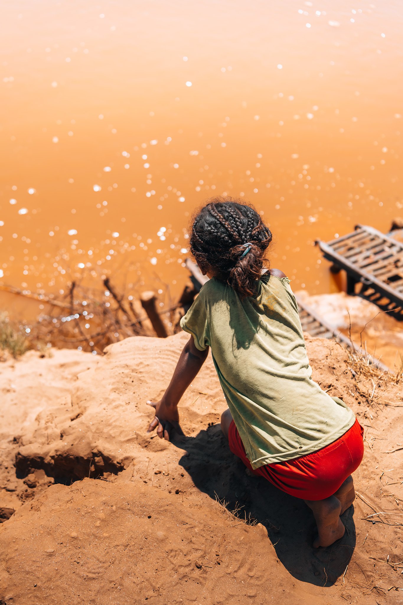
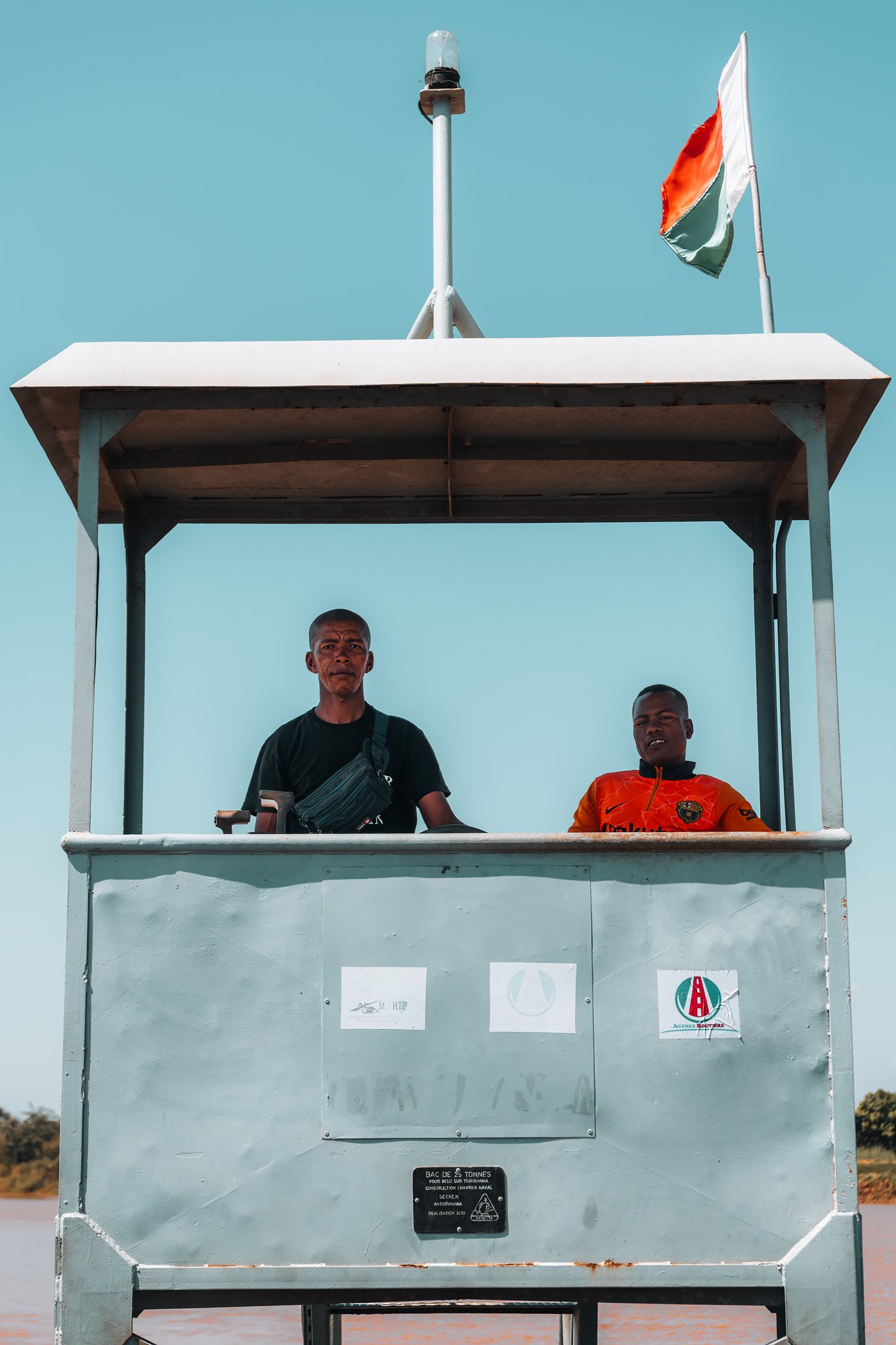
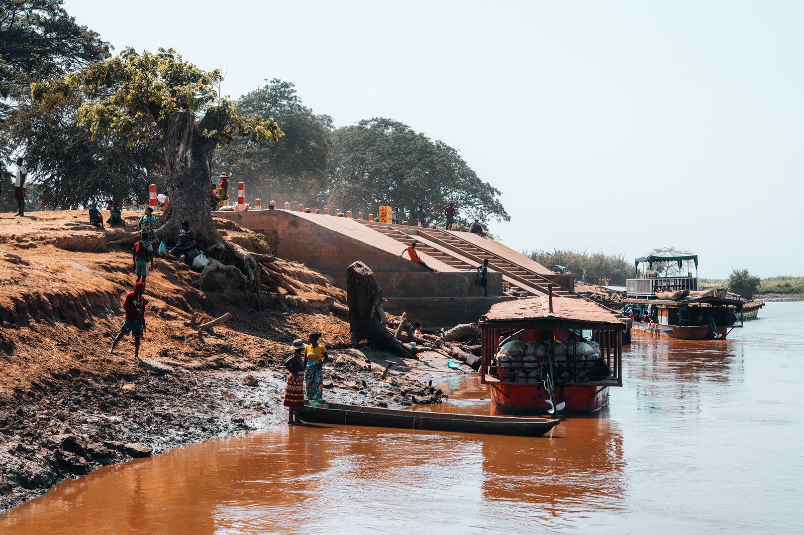
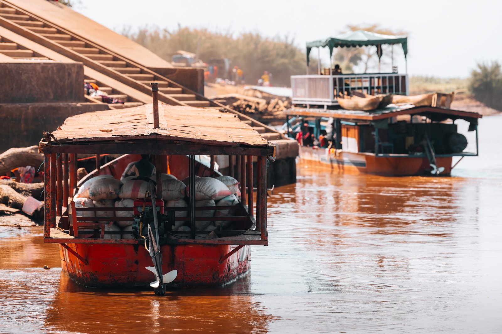
Unlike Madagascar’s eastern highland regions where rivers play a significant role in connecting many parts of the country, in western Madagascar rivers create obstacles. Our first major barrier was the Tsiribihina River. Instead of having a bridge over it, vehicles cross via a simple flat ferry that transports trucks, buses, motorcycles, livestock and pedestrians from one bank to another.
Everybody seemed relaxed. Drivers socialized under shaded areas while vendors sold food and drinks between waiting vehicles as if traffic congestion was simply an accepted part of daily routine. The crossing took only a few minutes, but it represented a psychological boundary beyond which traveling became distinctly more remote.
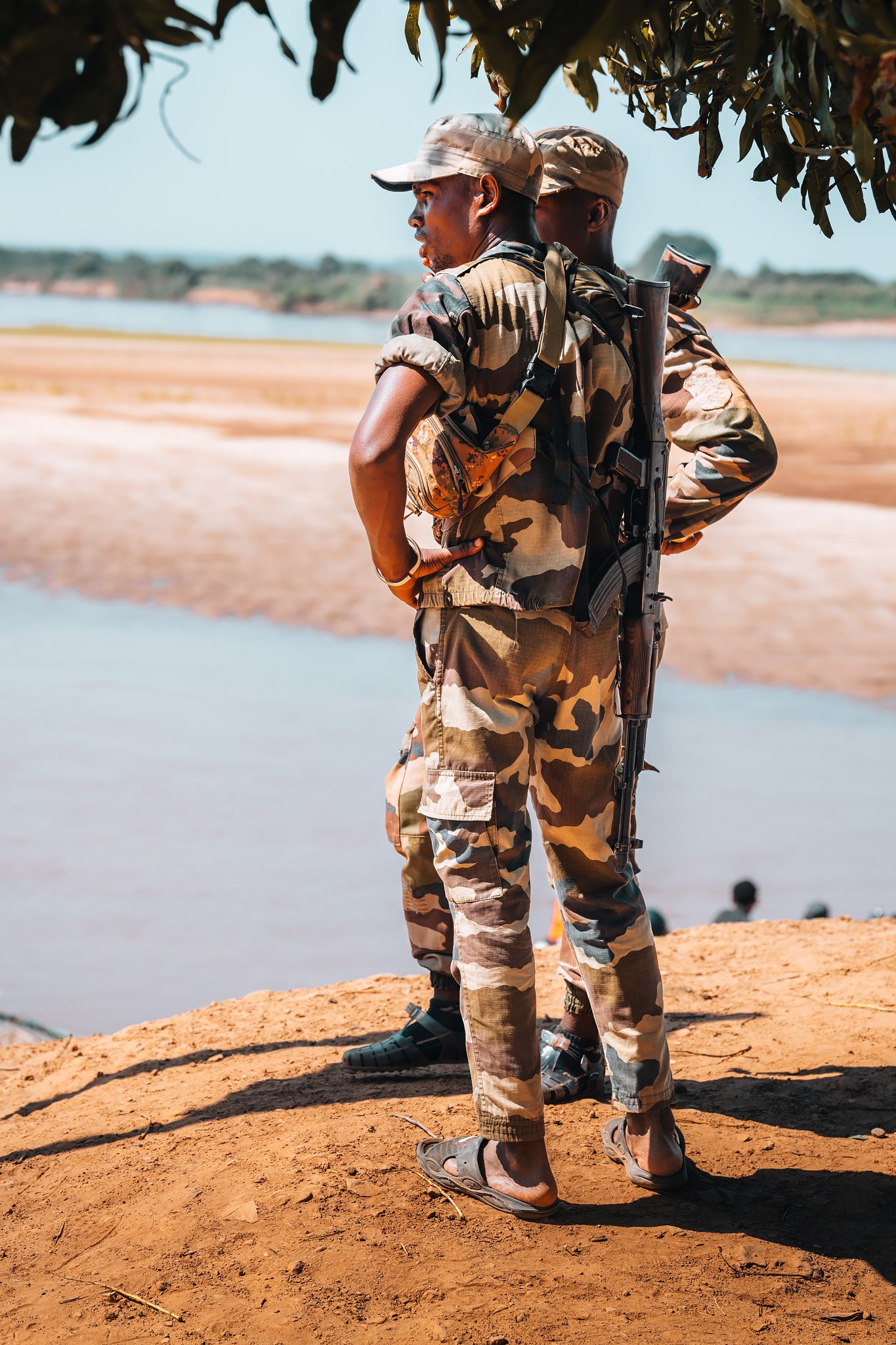
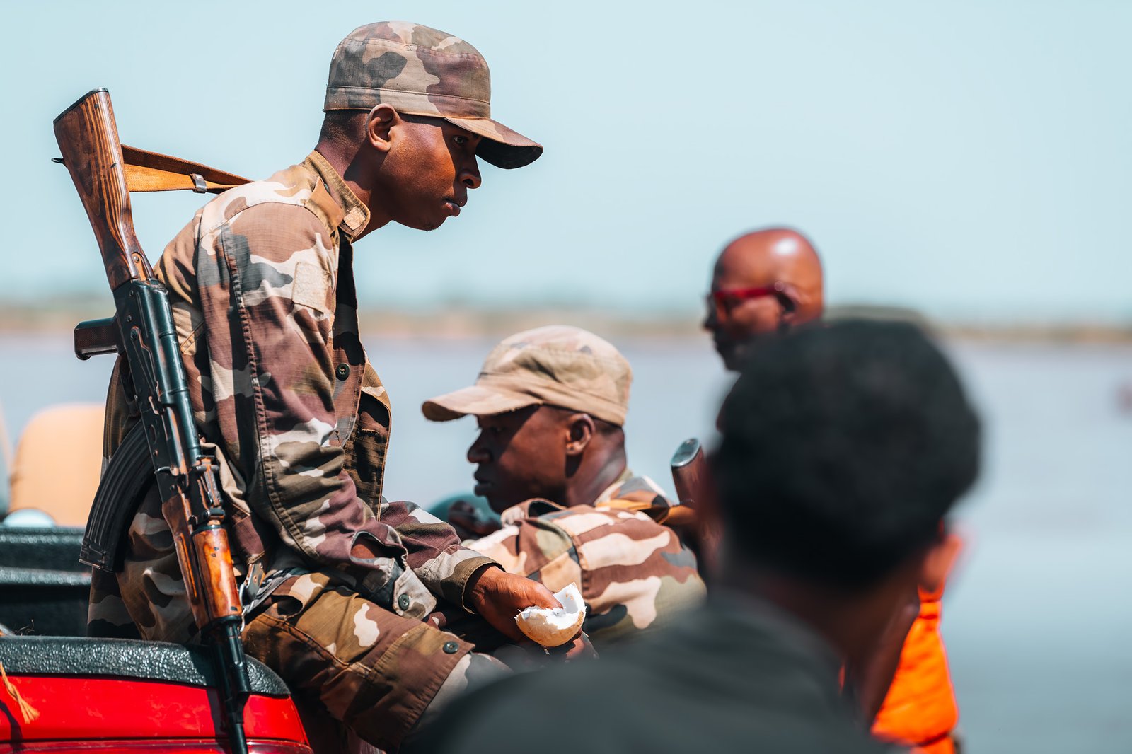
Once on the opposite side, we found ourselves joining an unusual convoy. Military vehicles took the lead, followed by a colourful procession of four-wheel drives from different tour operators, carrying travellers from all over the world. It felt almost like a small expedition setting off together into one of Madagascar’s most isolated regions.
The road to Bekopaka is among the country’s most challenging. The combination of rough tracks, seasonal isolation and virtually non-existent infrastructure makes every journey unpredictable. While incidents are uncommon, this is also one of the few areas where security is taken seriously, as some vehicles have occasionally been targeted by dahalo, bandits who prey on lone cars. Convoys, especially those accompanied by the military, are rarely disturbed, making the shared journey both a practical necessity and a reassuring presence.
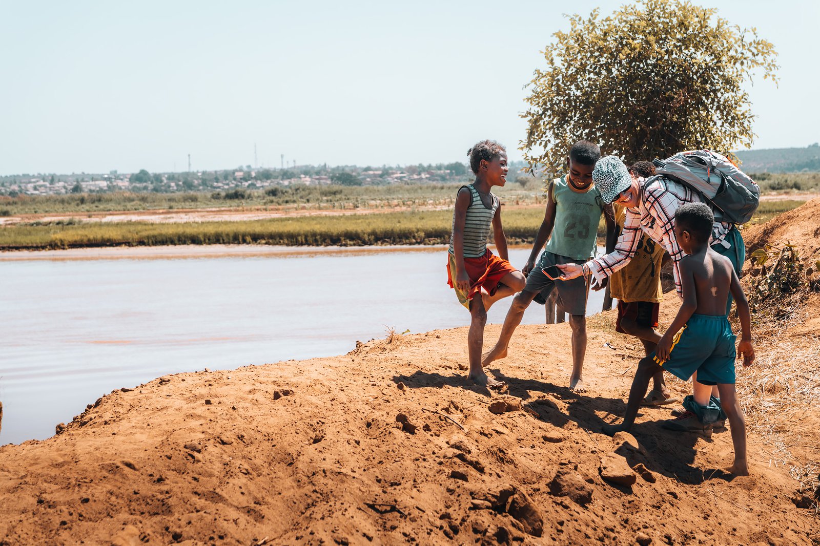
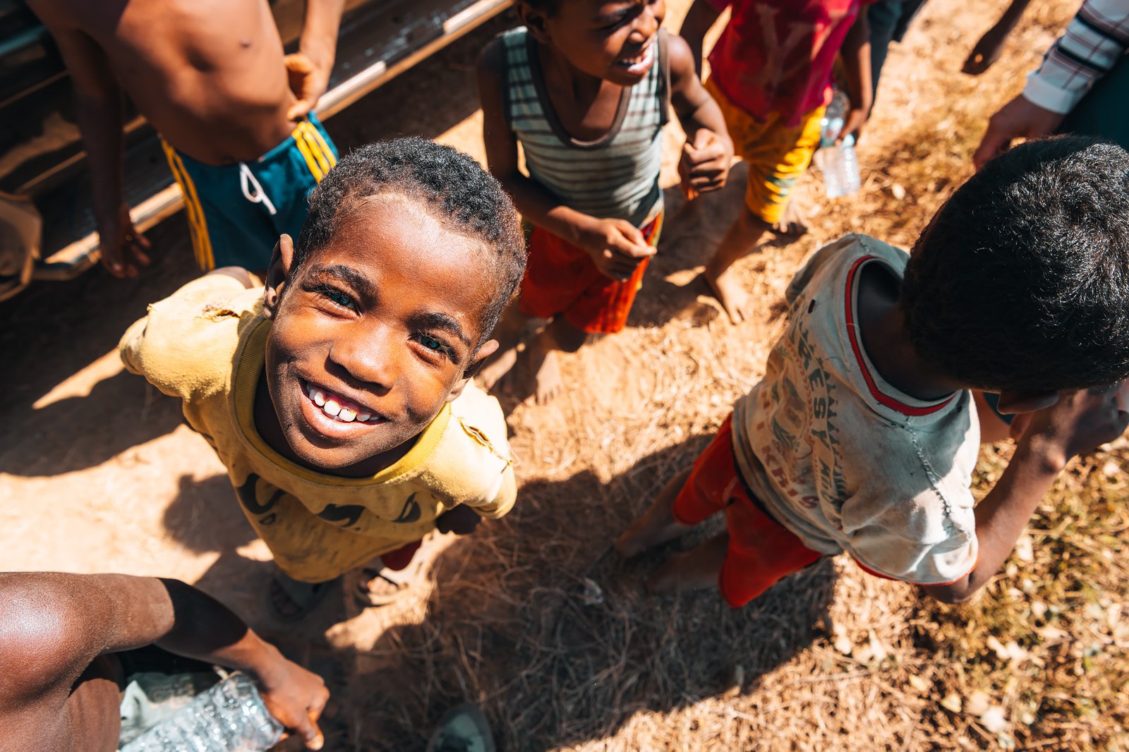
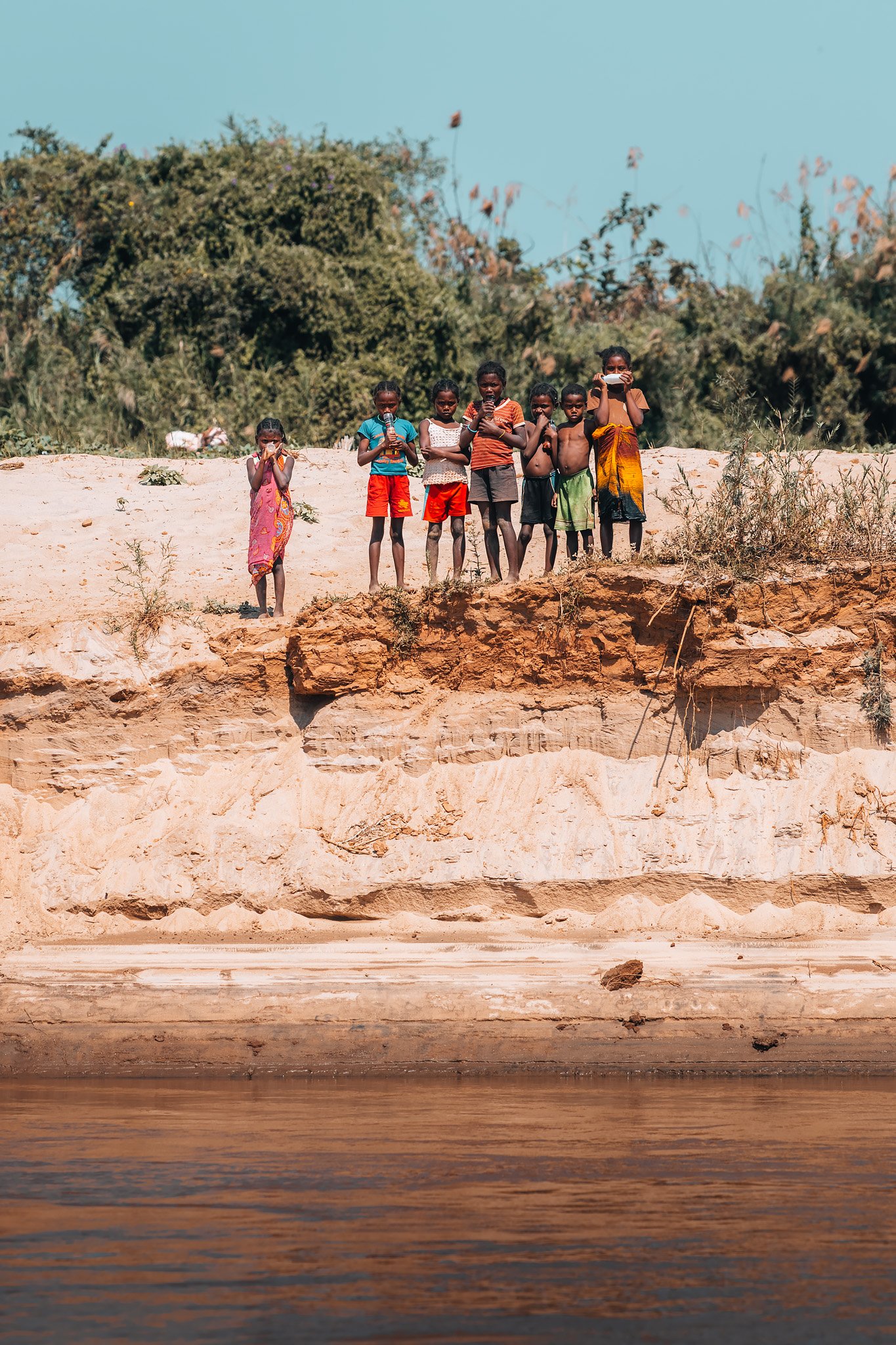
As the kilometres passed, we experience another side of western Madagascar. We crossed village after village where children ran towards the road, waving enthusiastically and shouting “Bonbon! Bonbon!”, their cheerful request for sweets from passing travellers. In one particularly memorable village, dozens of children sat beneath the enormous canopy of a baobab, attending what served as their classroom while their teacher conducted the lesson in the open air.
Before leaving the last fuel stop, our guide Rado had suggested buying a few bags of sweets for moments like these, and as we slowly drove through the villages, we shared them with the children. Their smiles and laughter echoed long after the convoy had disappeared into the dust, providing a joyful contrast to the harshness of the landscape and a fitting end to a long but unforgettable day before finally reaching Bekopaka.
The Gorges of the Manambolo River
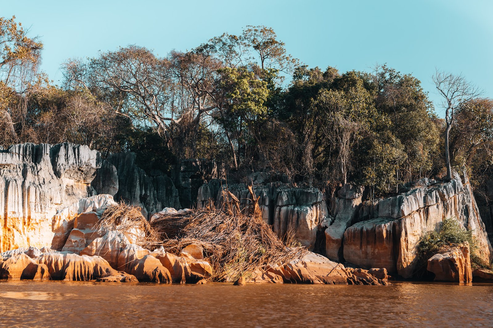
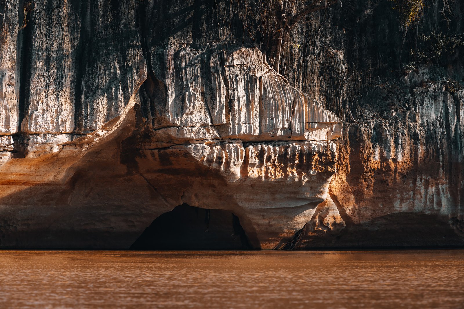
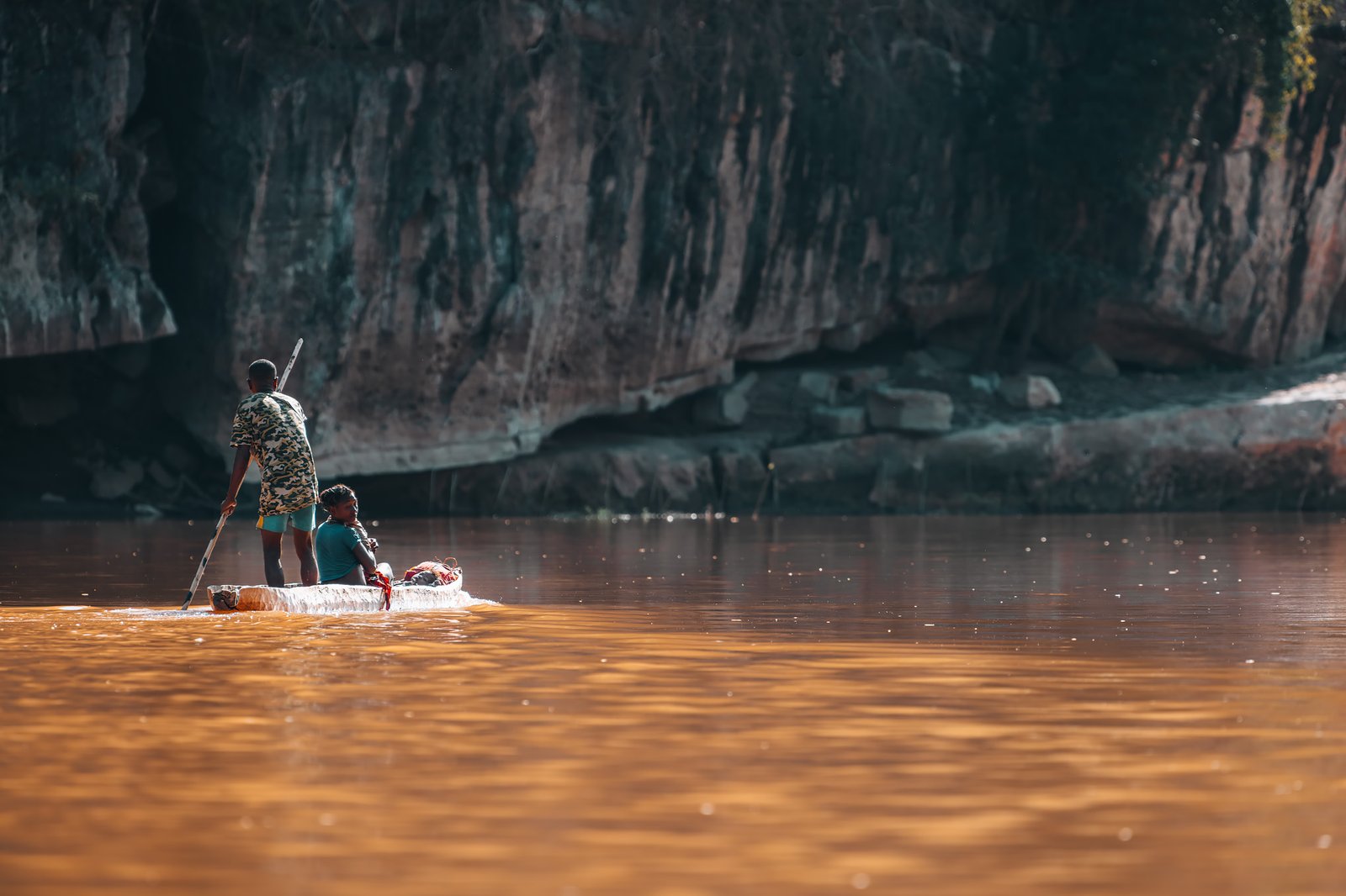
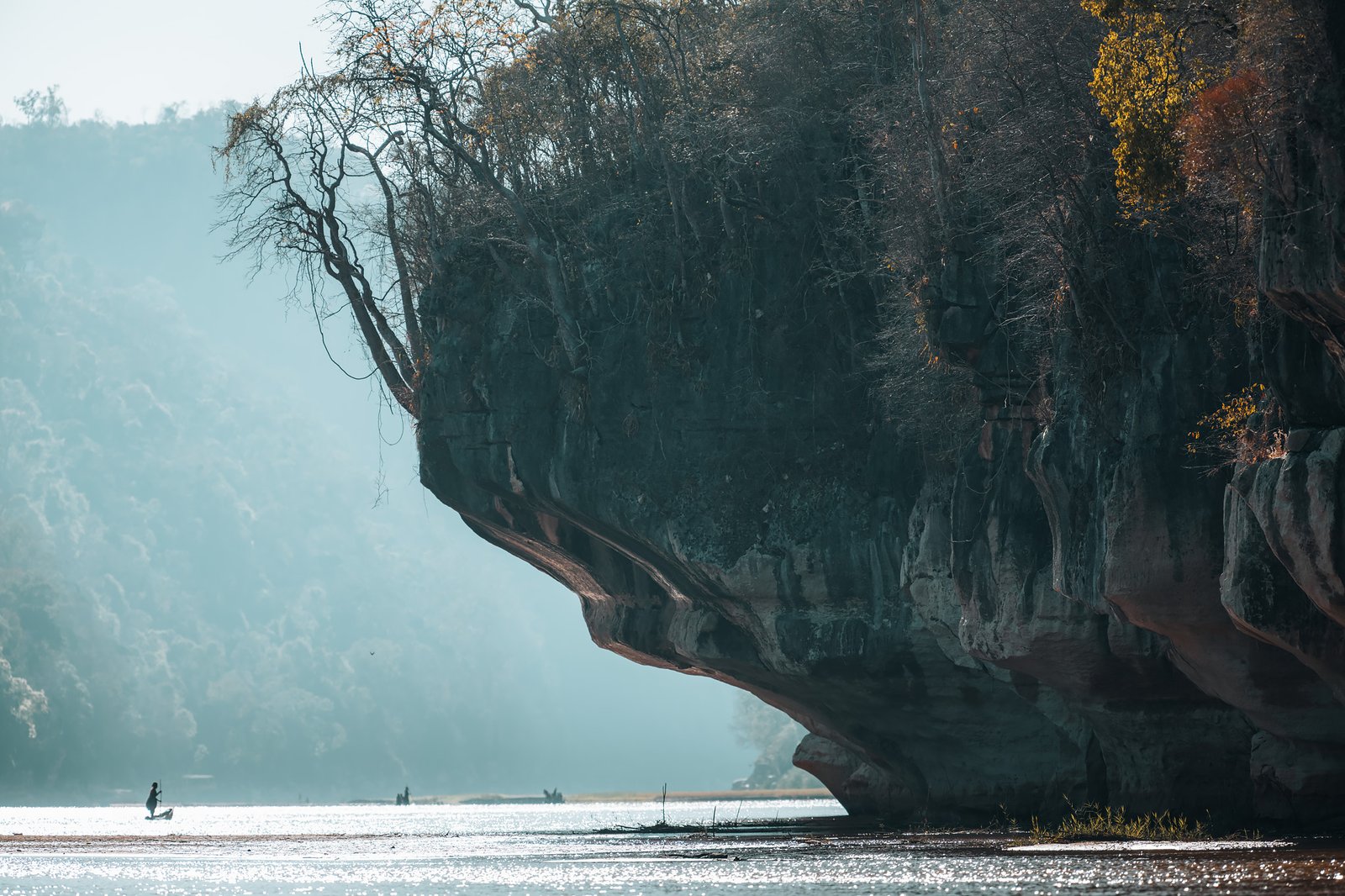
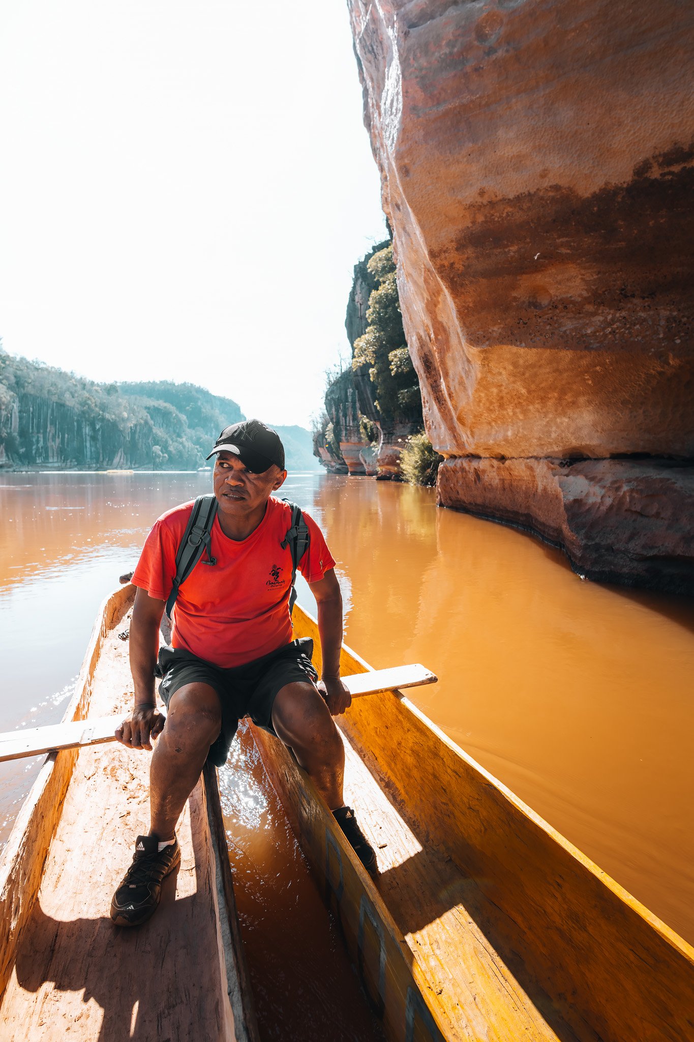
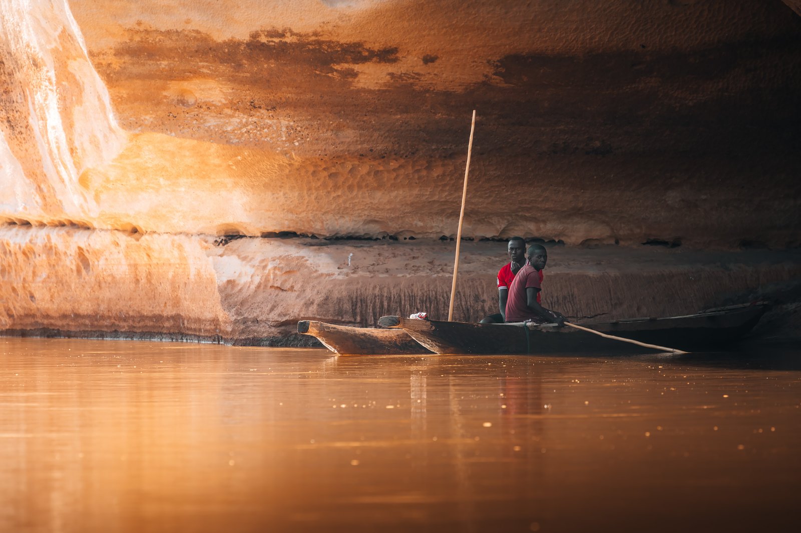
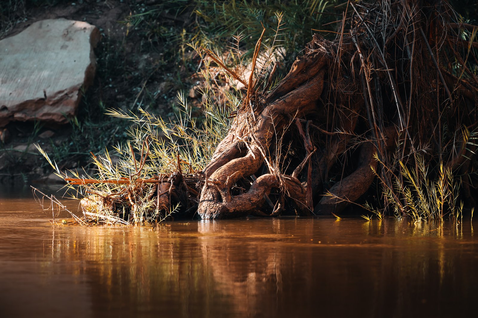
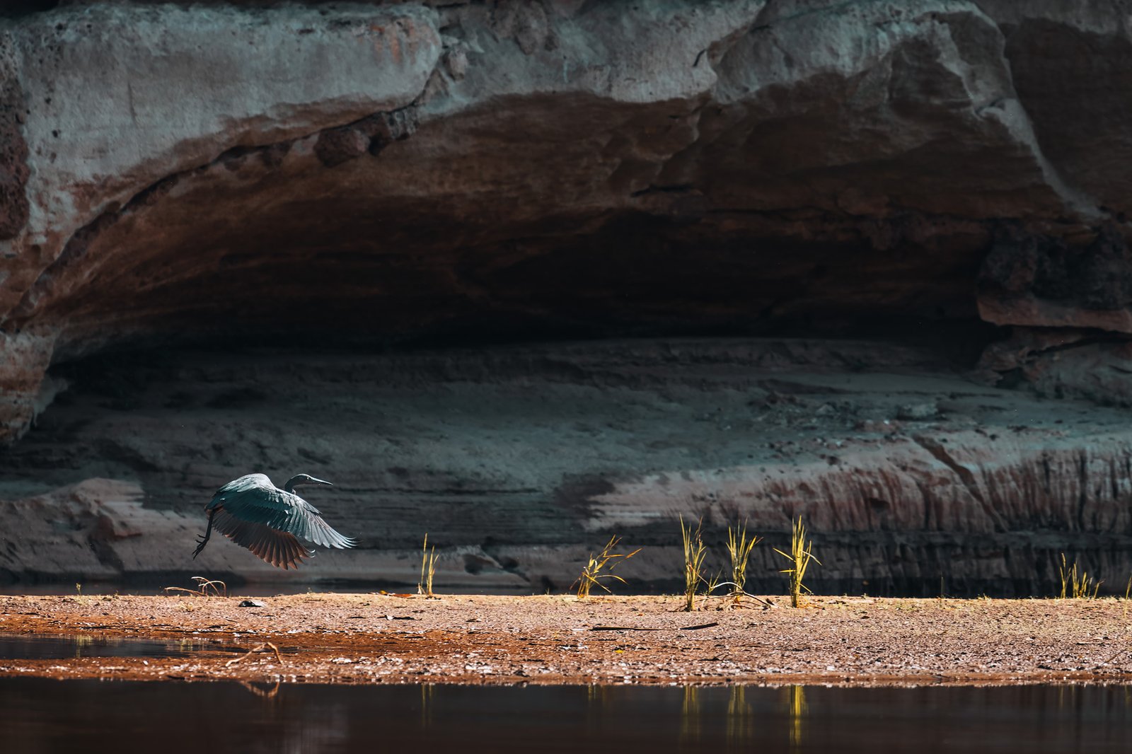
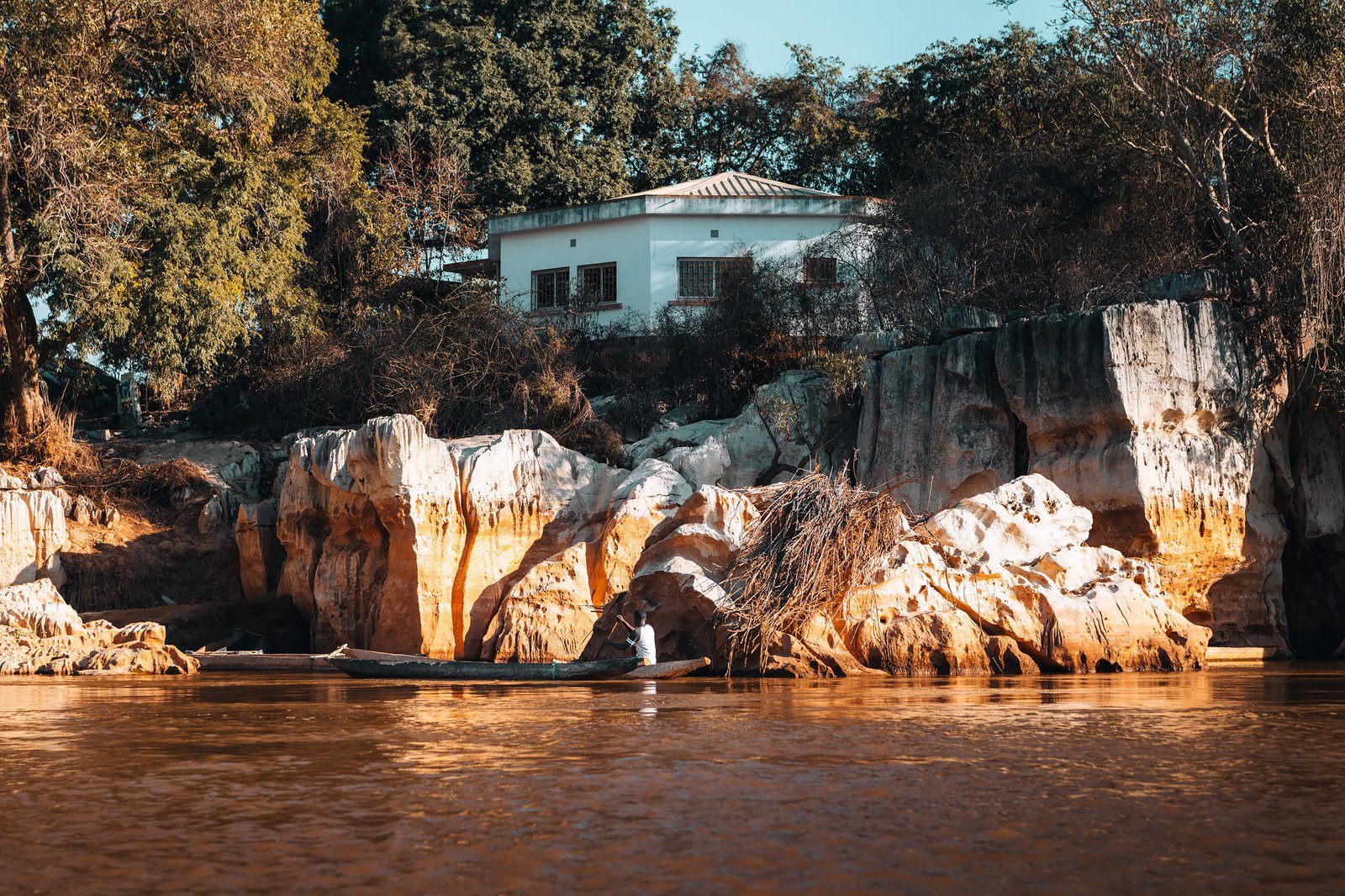
The morning after Taina was waiting for us with a tiny wooden pirogue. Our local Sakalava guide guided us into one of western Madagascar’s most visually stunning environments. Towering limestone cliffs dramatically rose on both sides of the river creating pale gray walls that mirrored perfectly into the stillness of the water below them.
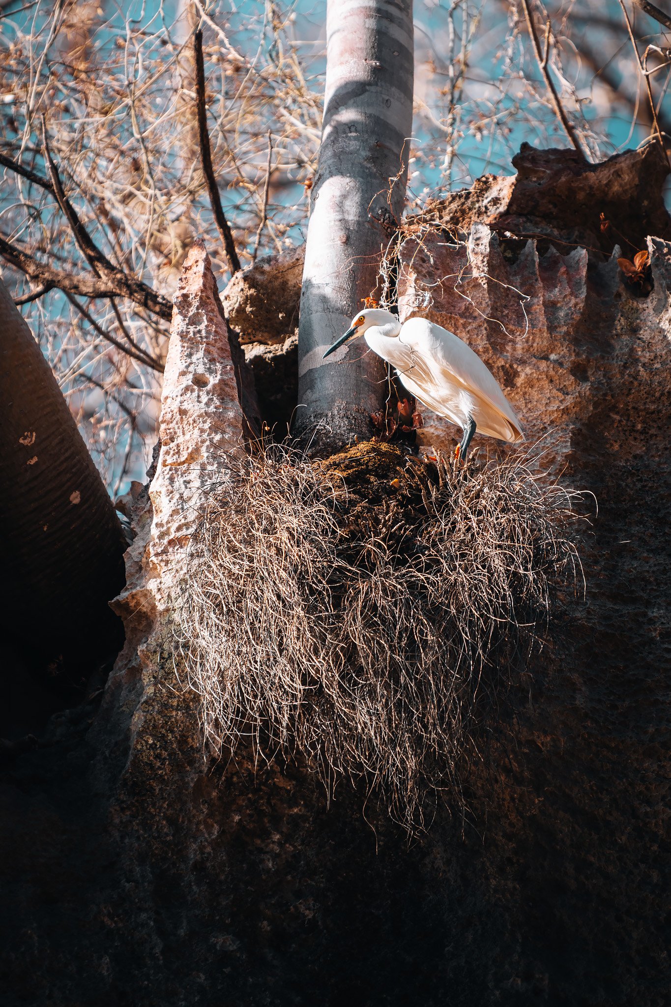
White egrets hunted prey along muddy riverbanks while kingfishers darted between overhanging branches above us, and Nile crocodiles (yes! They reached the island long ago…) were basking silently on rocks along cliff faces using camouflage that was as successful as that of geckos we observed the day before.
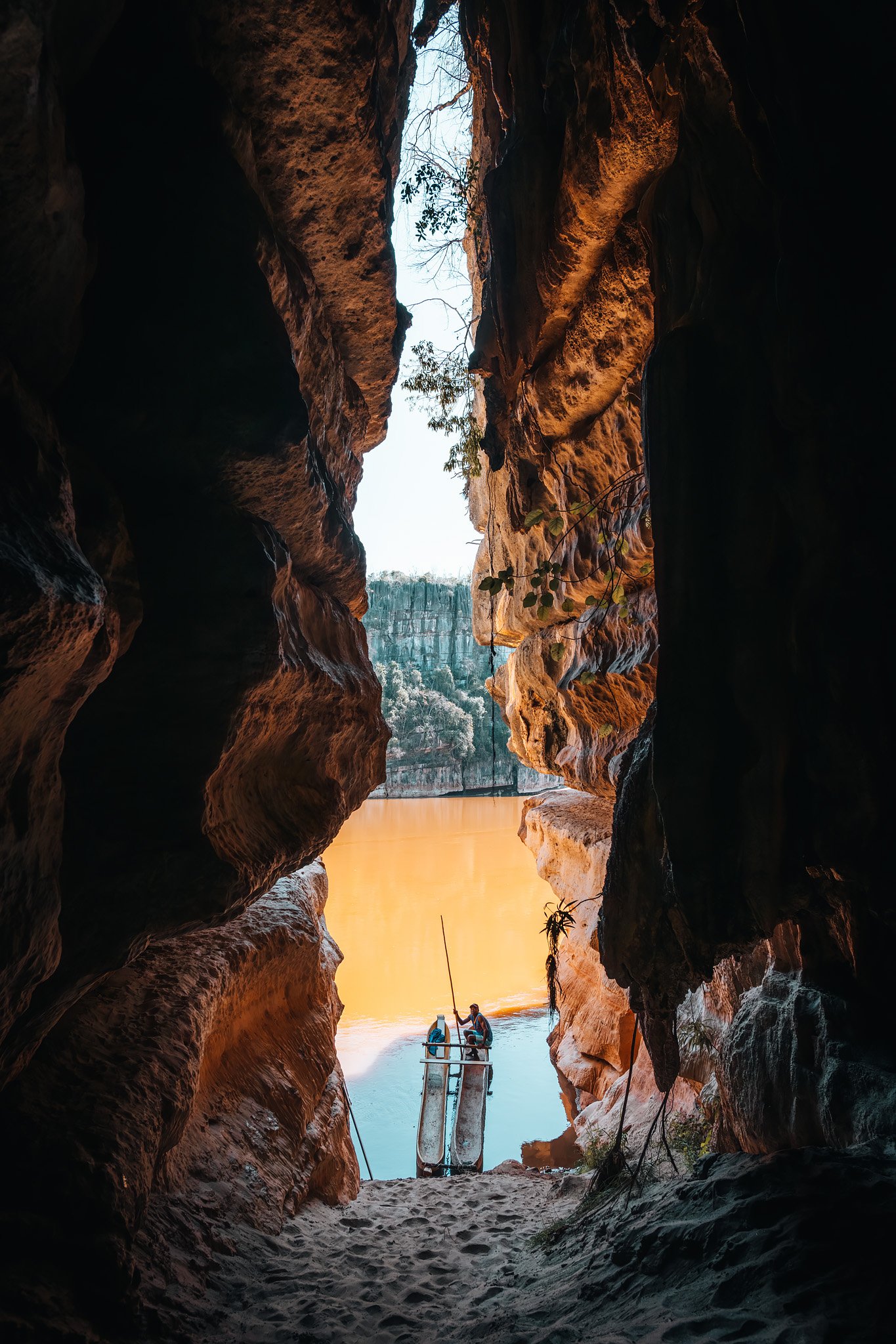
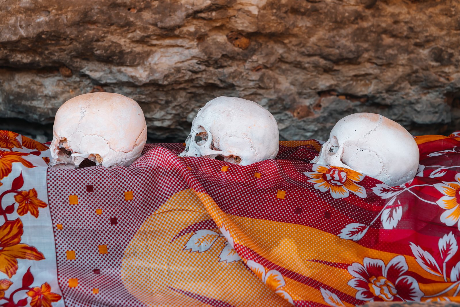
For thousands of years, the Manambolo has provided passage for trade and cultural exchange, and hidden within its limestone walls are cave systems containing ancestral Sakalava tombs guarded by local customs and taboos. Stepping into these caves felt more like entering historic spaces than visiting archaeological sites, and understanding that these cliffs continue to represent important cultural landmarks in addition to natural ones added a distinct flavour to our pirogue ride that was significantly different from a typical boat tour.
First Glimpse at the Stone Forest
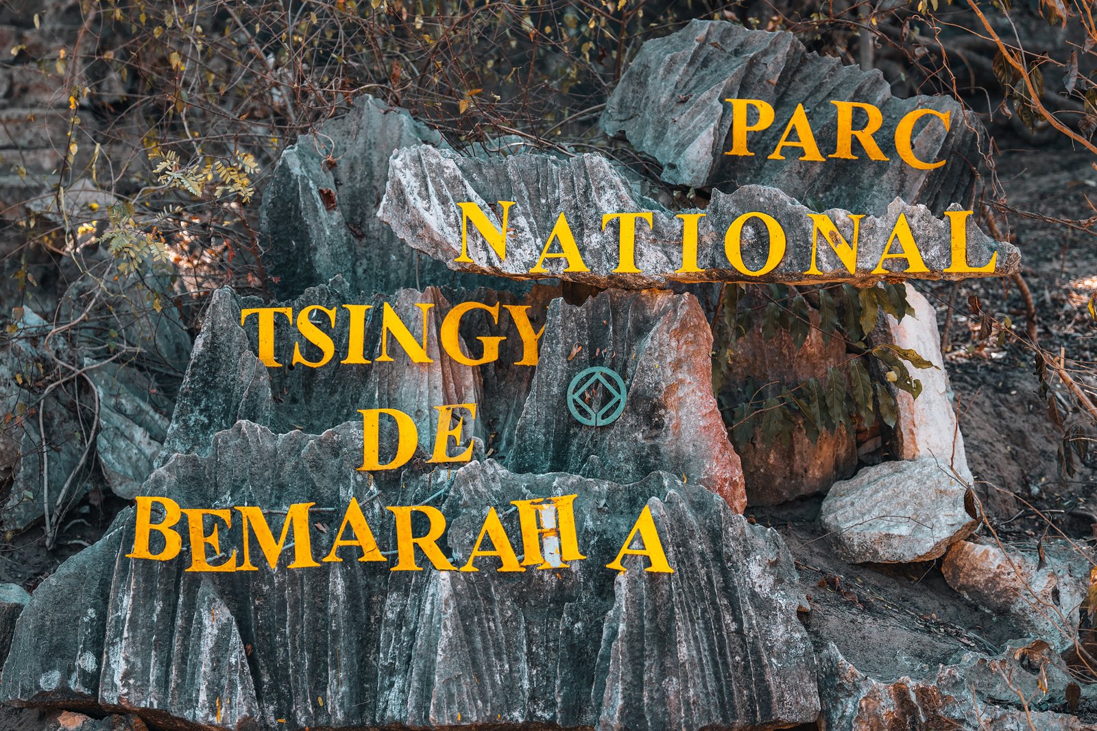
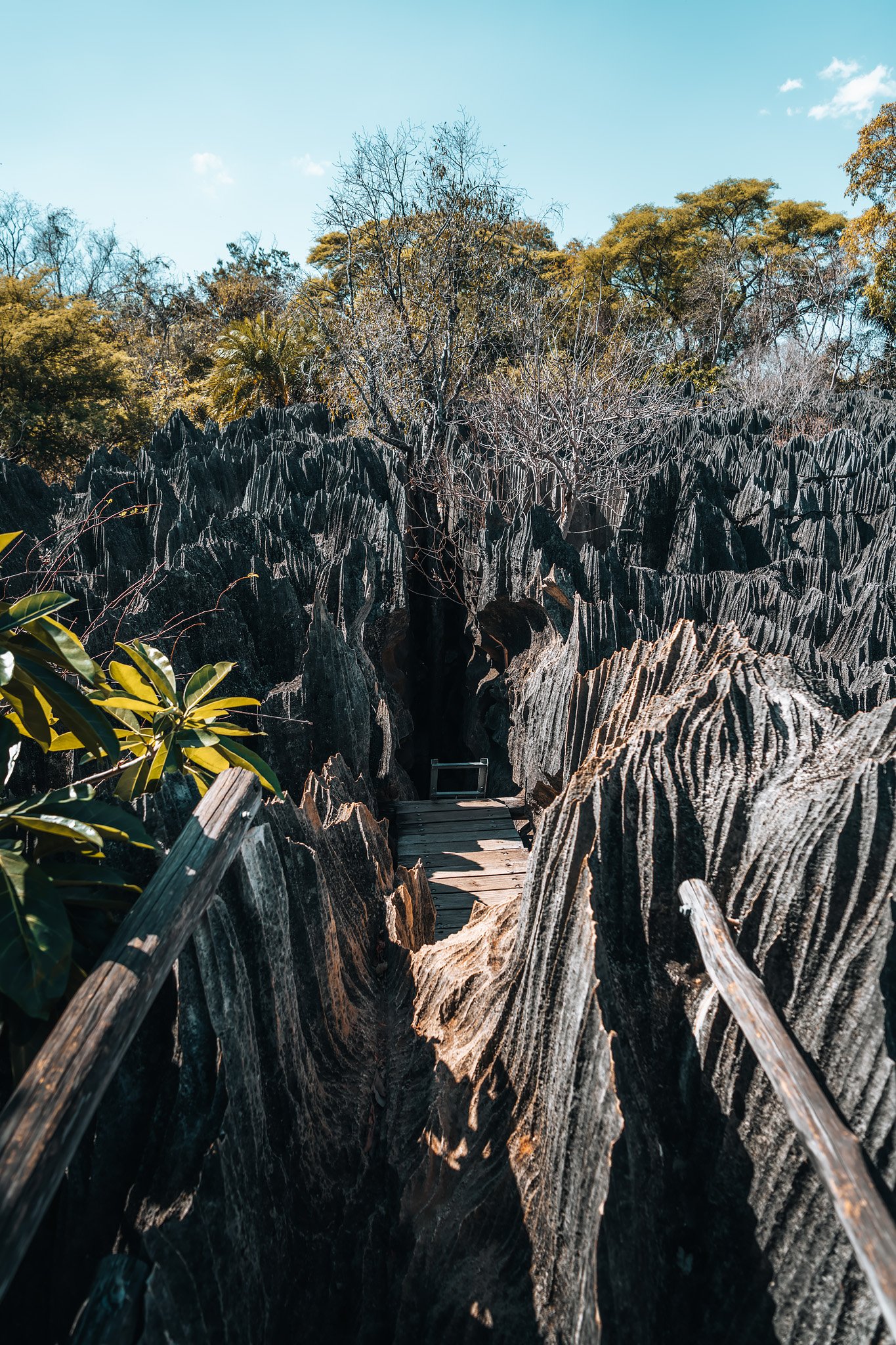
Our first contact with one of the world’s unique landscapes came from exploring Bemaraha National Park’s Small Tsingy. At first glance, the limestone appeared like anything else we had seen before, however, once we entered onto narrower trails, we realized how treacherous this environment is.
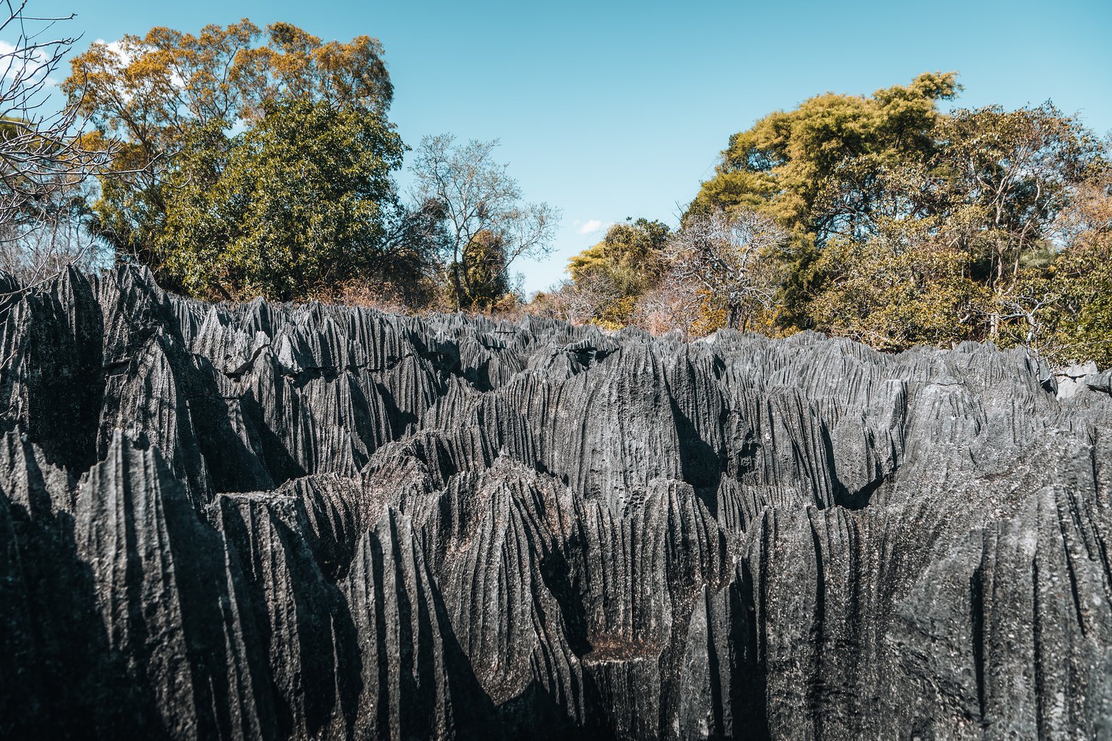
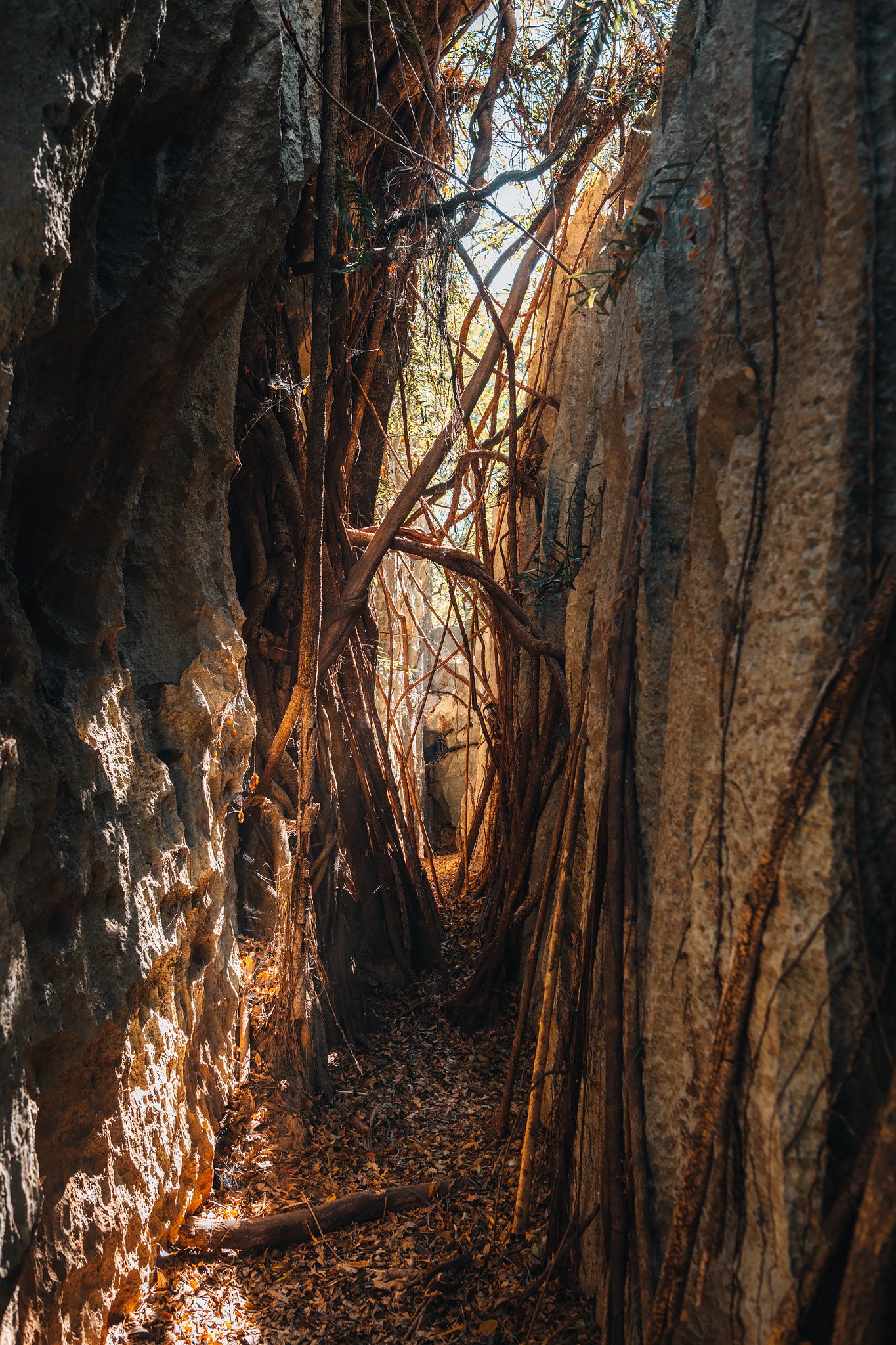
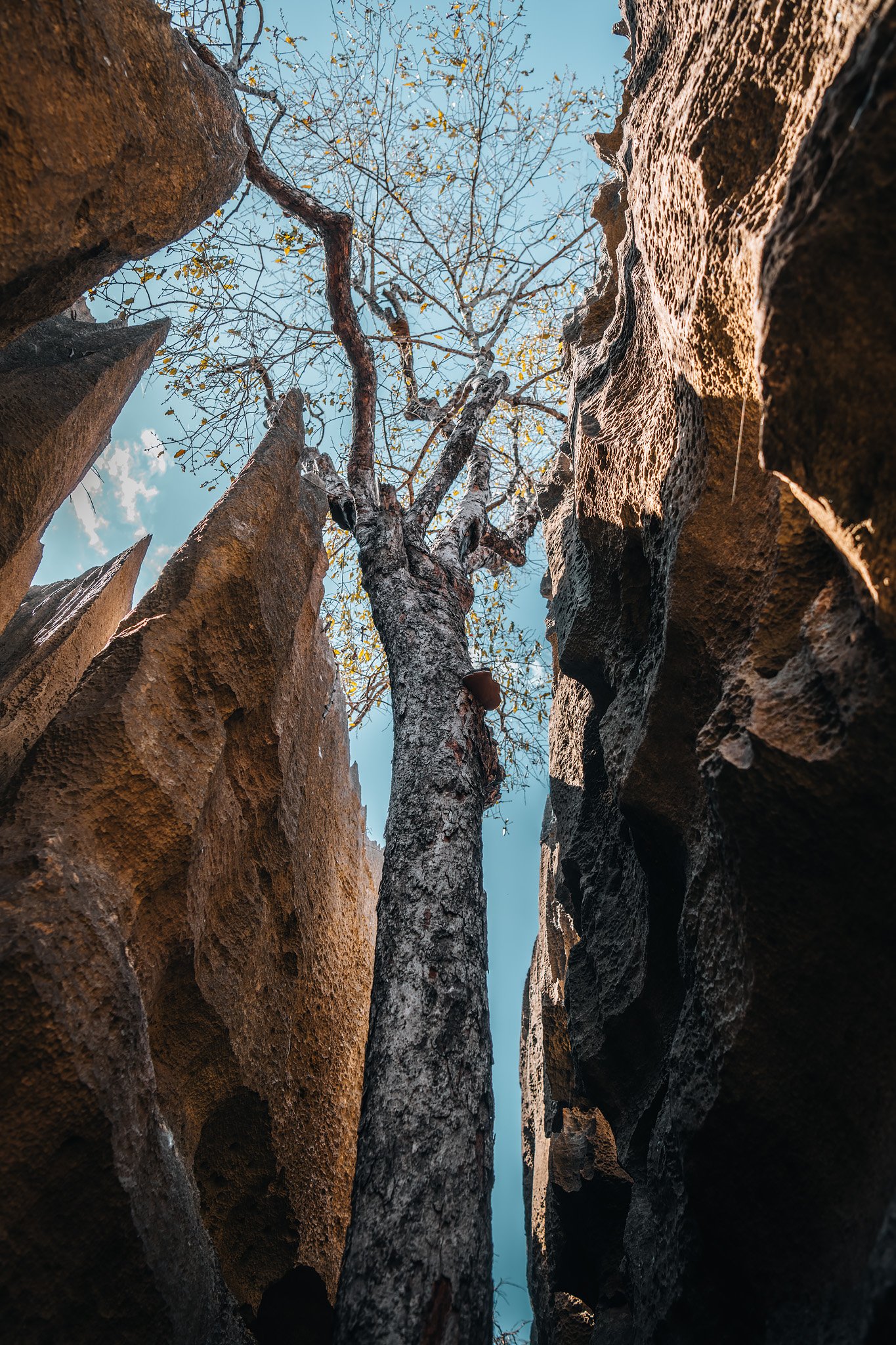
Walls of sharp rock surrounded us while massive tree roots stretched into narrow openings in search of buried soil beneath layers of stone. Every turn produced another passageway, another canyon or another maze created by millions of years of slow chemical dissolution of what was once a prehistoric coral reef beneath an ancient sea.
The Malagasy word tsingy is commonly translated as “the place where one cannot walk bare foot.” After only a few minutes of walking within this area we understood precisely why. The Small Tsingy is an excellent example of smaller formations present within Bemaraha National Park.
While far less expansive than the larger formations present further into Bemaraha, it demonstrates with clarity the intricate nature of this UNESCO World Heritage site, a harsh environment that supports life, an isolated habitat system that has led to evolution of species that do not exist anywhere else on Earth, and possibly one of the most complex ecosystems known.
It was difficult to envision anything more unusual than what we saw here. We would learn otherwise the day after when we explored the Great Tsingy de Bemaraha.